Copyright 2011 Matt Farrington
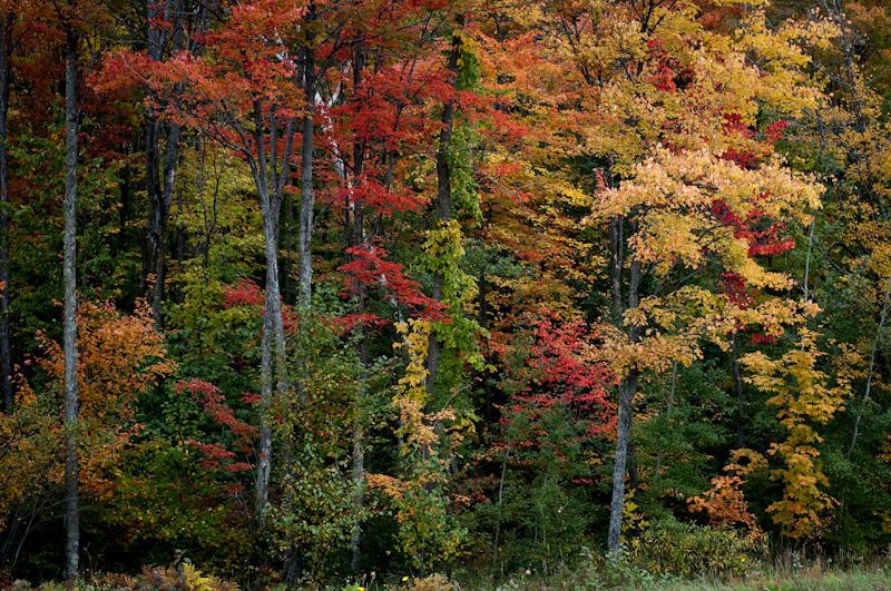
I left home at 8:00 yesterday morning, and set out to the north in search of the early fall colors. Had I waited another week the color may have been a little more abundant, but I kinda like having some healthy green in with the reds and oranges. This was just north of Antigo, WI.
Copyright 2011 Matt Farrington
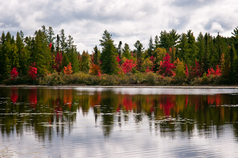
This is a short waterway connecting Third Lake to Fourth Lake, near Rhinelander.
Copyright 2011 Matt Farrington
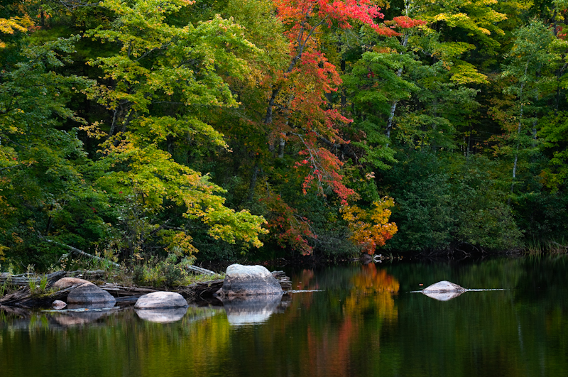
This is a river near Manitowish Waters.
Copyright 2011 Matt Farrington
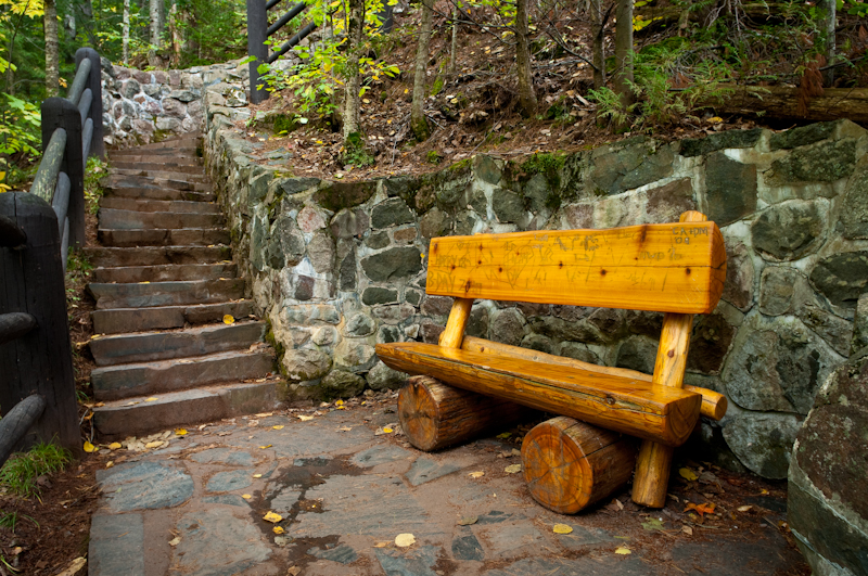
I stopped a couple more times between Manitowish Waters and Mellen, WI to take photos, but those attempts weren’t very successful. So I stopped by Copper Falls State Park.
Copyright 2011 Matt Farrington
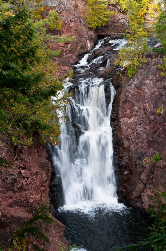
This is Brownstone Falls. There really isn’t a very good vantage point to take photos of it. The trail leads you around the rim of the Bad River Gorge, so there you’re not left with many options for getting a better angle. This shot seems kind of boring to me.
Copyright 2011 Matt Farrington
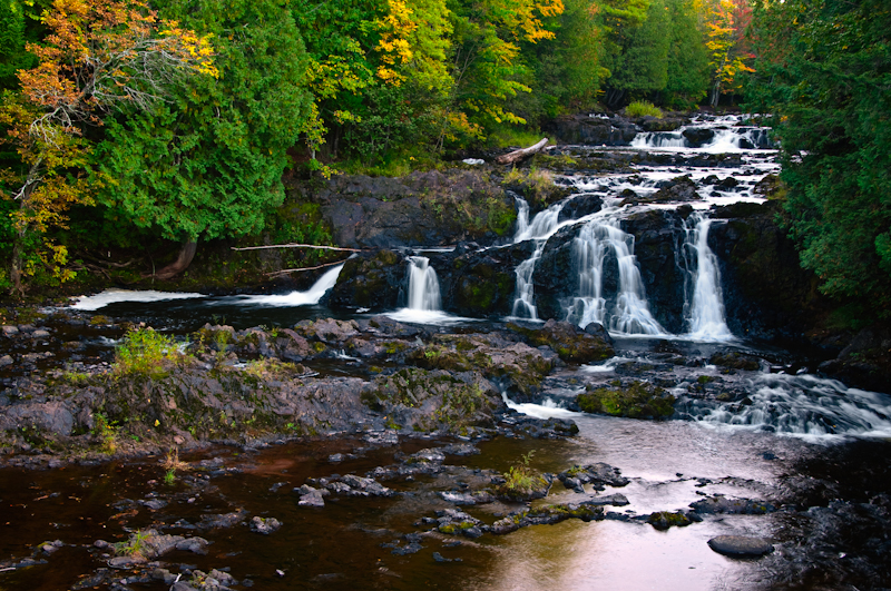
These are the Cascades, which feed Brownstone Falls (out of frame to the right). Most of the trees were still pretty green in the park, but the there were a few patches of color.
Copyright 2011 Matt Farrington
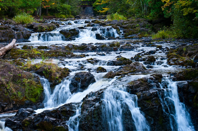
It was cloudy most of the day, which helped me here because I could slow down my shutter speed a bit to blur the water.
Copyright 2011 Matt Farrington
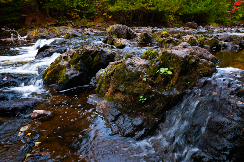
This was taken while standing on the rocks in the Cascades.
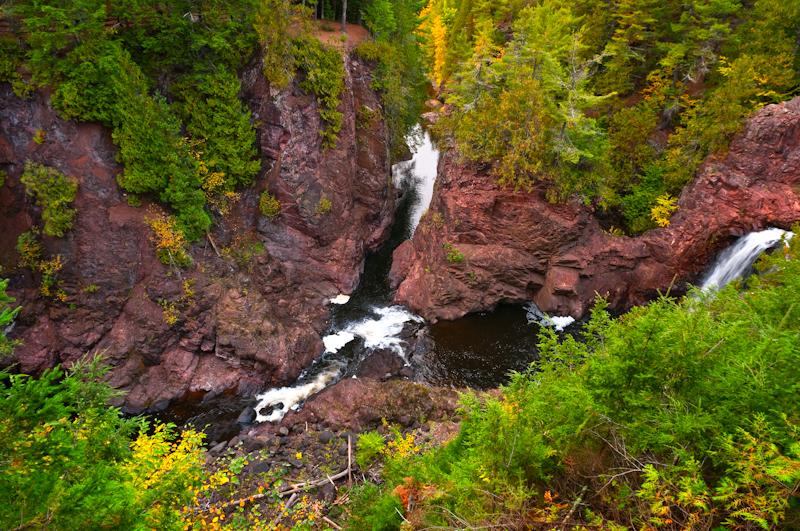
Copyright 2011 Matt Farrington
This is the only shot I have of the gorge. That’s Brownstone Falls at the far right. Copper Falls is out of frame to the left, and the Bad River continues on it’s way toward the top of the frame. Oddy, I didn’t take a picture of Copper Falls.
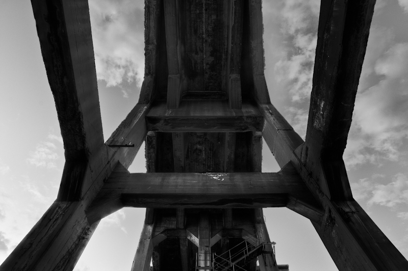
Copyright 2011 Matt Farrington
Here’s an old friend of mine. I left Copper Falls a half hour before sunset and drove 24 miles up to Ashland. This is the enormous ore dock that’s been out of service since 1965. It’s 80ft tall and 1800 feet long. The last time I was up there I read that it was scheduled to be demolished, so I was pleasantly surprised to find it still standing and untouched. There are 10 foot high steel plates blocking anyone from getting to the part that juts out into the lake. In fact, it’s fenced-off to keep anyone from getting underneath it at all, but someone cut a huge hole in the fence so I walked right in.
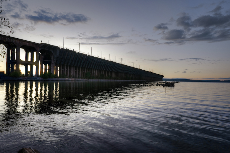
Copyright 2011 Matt Farrington
This is the whole thing. The previous photo the taken from between those more widely-spaced pillars on the left. It’s a shame they plan on taking it down. I wish Milwaukee had more run-down industrial blight.
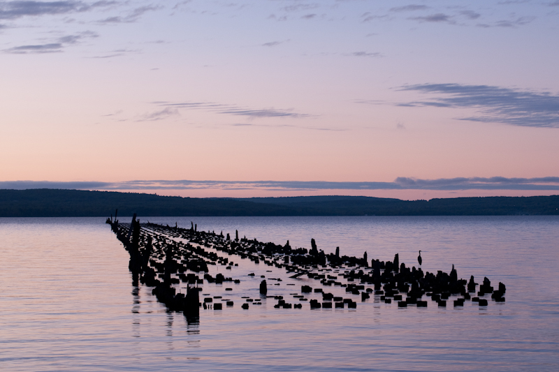
Copyright 2011 Matt Farrington
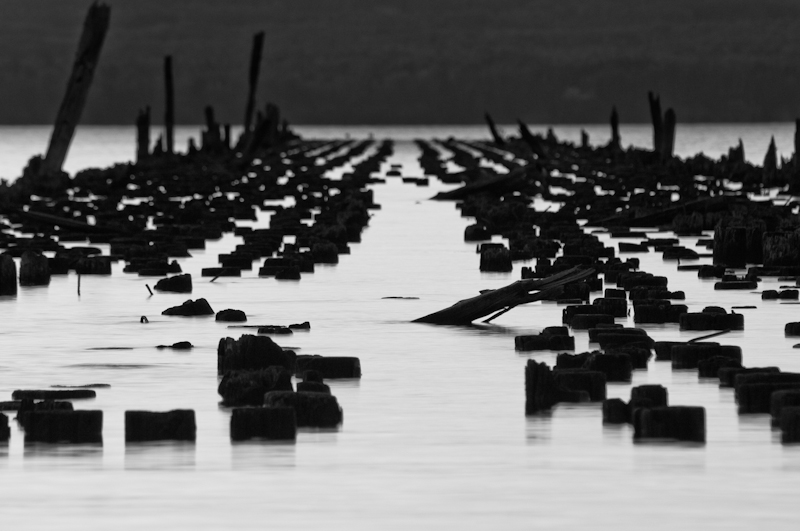
This is kinda visible in the previous photo just to the right of the ore dock. I suppose it’s the remnants of some other dock. I really like that crane standing on the pillar. I even walked back to the truck to get a longer lens, but the bird move by the time I got back.
Copyright 2011 Matt Farrington
Here’s another shot, with the zoom lens on. I wish the crane hadn’t moved. Right after this shot I headed for home. I left Ashland at 8:30 Saturday night and got back home around 1:30 Sunday morning.
If you want to re-live this journey in person, here are my tracks (you’ll have to zoom out), all 743 miles of it. Since I recorded my path with my phone, you can even follow the hike around Copper Falls.
The tracks didn’t work.
I like the results of your road trip.
You should take a road trip to Michigan, specifically the Grand Rapids area… let’s say October 29th or November 4-5th so that you’d just happen to be able to see most of the stuff that I blog about.